Paved Paradise
Sprawl makes me sick. You, too. That’s the conclusion of a spate of recent studies of American cities and citizens: The built landscape has had a deleterious impact on our health. In October, a study co-authored by scientists at the Rand Corporation, revealed that people who live in areas of extensive suburbanization are more likely to suffer from arthritis, breathing difficulties, headaches, and high blood pressure than those inhabiting a less-sprawled landscape. An Atlantan has a health profile of someone four years older who happens to live in Seattle. More dependent on the car, we walk less, become more obese, compromising heart health, lung capacity, and physical mobility. We are where we live.
For a complex road map of how we got into this predicament leaf through Dolores Hayden’s A Field Guide to Sprawl. With stunning aerial photography by Jim Wark, this fascinating primer belongs in every automobile. Although Hayden calls her work an “illustrated vocabulary of sprawl,” it might just as well be subtitled a Baedecker of Bad or a Michelin of Mess, for it covers our troubled terrain from A to Z.
Ever wonder why, when flying into Albuquerque, Austin, or Anchorage, you spot well beyond the current city limits a set of grids running out into the desert or scaling up into as-yet-uninhabited foothills? These blue-sky visions, dubbed Alligators, testify to “developers’ tendencies to divide lots into many more subdivisions” than they ever build out, an investment strategy that produces a negative cash flow. Because they live “on a diet of principal, interest, and property tax payments,” alligator investments eat equity and swallow up land that, when seen from above, creates an eerie Etch-A-Sketch esthetic.
In time, an alligator might morph into Zoomburg, which is delightfully self-explanatory. But giving the term its definitive look is Wark’s bird’s-eye-view of Sun City, Arizona. Its initial concentric rings of roads and housing form a large Pod (an area of single-use zoning), and are wrapped in the emerald embrace of an 18-hole golf course. Subsequent tiers of development have spun out into the flat and arid valley. Just pour water and watch it grow.
Ah, but do not mistake these pop-up places for a Boomburb, the classic of which is Plano, Texas. Sited on former cotton fields, the Dallas suburb mushroomed a mind-boggling 5909 percent between 1960 and 2000. While it contains some commercial corridors and shopping nodes, many of its 53 American peers, “places with more than 100,000 residents that are not the largest cities in their respective metropolitan areas,” do not. These fast growing Cluster Worlds look alike, containing “similar houses sold at similar prices to families who purchase similar kinds of household goods,” a uniformity that reinforces racial segregation, ethnic demarcation, and class distinctions. All this is reinforced through the construction of regulation six-foot privacy fences.
The automobile defines the tenor and tempo of life within these Privatopia, crowded as they are with Snout houses—so-named because their two- or three-car garages protrude into the street frontage, minimize lawns, and seal off interior space from exterior space. Without access to sidewalks, and far removed from businesses and communal space, those suburbanites locked within this cul-de-sac life must drive everywhere, to purchase food and clothing, take children to school and recreation, visit friends. En route, Soccer Moms—a marker species of mobility moderne—flash past Noise Walls and an endless stream of Litter on a Stick (billboards) on their way to Big Box strips. These concrete-block structures can consume upwards of 250,000 square feet (Wal-Mart has more than 3,200 domestically, 1100 overseas), developments that intensify Mall Glut (in the U.S. there is 19 square feet of retail space per capita). This does not include the many Drive Thrus (think McDonalds) plopped throughout Logo Land (Golden Arches), that, along with Ball Porks (public subsidized sports arenas), make up a portion of the Edge Nodes spawned by freeway intersections and exit ramps.
In this dizzying realm, movement is at a premium, for it is quite likely that our hypothetical, SUV-driving parent is trapped in numbing Gridlock, which slows transit across a terrain of Impervious Cover, banked to flush run-off down culverts, channels, and tunnels, the manufactured watersheds of the new city. Should their Tahoe blow a tire or their Tundra blow a gasket, the remains will be hauled off to a Tire Dump (currently stockpiling more than 500 million) or a multi-tiered junk yard (car carcasses number in the tens of millions). What a world.
Its contours are no accident. Hayden’s lucid description of its defining features, when linked to Wark’s startling images, lays out the range of governmental regulations, financial incentives, social demands, cultural forces, and political coalitions that conspired to create this Asphalt Nation. Yet parts of the United States are more sprawled than others, and it is curious that Hayden does not make explicit what the Field Guide’s illustrative material makes clear: Sprawl is most deeply rooted in the trans-Mississippi West. That 70 percent of the book’s photographs are from this region underscores the need to articulate why this peculiar pattern of urbanization has become so dominant.
Here’s a start. Because the automobile first rolled down the dusty streets of Dallas, Denver, and Portland not too long after the original trolley cars clanked down their respective Main Streets. Streetcar suburbs—compact grids framed around the needs of customers who walked to and from home and shop to ride the rail, long a standard in eastern cities—had little time to take hold. A pedestrian life was even briefer still in the mirage metropoli of Salt Lake City, Phoenix, and Las Vegas, whose desertscape land-booms occurred well after the automobile was ascendant.
Why walk when you can ride? Steve Martin offered up a brilliant parody of automobility in L.A. Story (1991), but his shrewd joke was about 70 years too late. In 1926, the Southern California Growth Machine, a collection of boosters comprising automobile dealers, newspaper publishers, construction executives, engineers, and publicists, crushed support for a bond election to fund elevated railways. An editorial cartoon in the Los Angeles Examiner, which, oddly, backed the rapid-transit bond, inadvertently explained why the vote was doomed. Entitled “Own a Car? If Not, Why Not?” its foreground contains a Craftsman cottage nestled within an Acadian landscape, with children gazing at a stylish convertible ready to carry them “across the city to the country,” under a rainbow of “Health and Happiness.” The car, by reinforcing white middle-class flight patterns, set its owners free.
Ever since, the suburban rush has been on. Its energy has been fueled by a massive in-migration to Houston and Sacramento, Tulsa and Tucson, a demographic surge that began in the Great Depression as farmers and ranchers hit hard times and moved into surrounding urban centers. The demographic shift accelerated rapidly with the tremendous federal spending in defense industries during World War II and the Cold War, luring more country folks to the bright lights. Some of this migration was city-to-city. Brooklyn suffered most of all, losing its famed naval yards and the Dodgers to the west coast and much of its aging population to Florida.
The New York borough’s collapse mirrored a national trend. Between 1970 and 1990, the south and the west, which make up the Sunbelt, grew exponentially. Western population soared from 35 million to 53 million; southern population swelled from 63 million to 85 million, for a total of 40 million new residents. By contrast, the east grew a mere two million. The nation’s economic engine, electoral clout, and political power had Gone To Texas (and places much like it).
Yet what might have been an apotheosis has turned into an apocalypse. To understand how this has happened, Hayden argues, we need to read “the visual culture of sprawl…as a material representation of a political economy organized around unsustainable growth.” By this claim, she situates Field Guide within a venerable tradition of urban-reform literature that has emanated from such writer-activists as Lewis Mumford, Jane Jacobs, and Peter Blake, Joel Garreau and Elizabeth Plater-Zyberk. Each has compiled a lexicon of loss that has framed their pleas and proposals to recreate the face-to-face, intimate communities of early modern Europe. For them all, The City of Angels is no City of Lights.
To remake Los Angeles into Paris—a neat trick—will require an educated and engaged population that knows deplorable design when it sees it. Hayden’s hope is that her small book will have just that outcome, “sharpening citizens’ and professionals’ ability to critique bad building patterns” so that they can “visualize positive changes.” Naming the problems, identifying solutions, taking action: Only when we move through the three stages of activism we will be in a position to demand the creation of “public spaces, scaled for women, men, and children, accessible to all,” more valuable because they will “nurture fundamental social connections.” As it regenerates urban life and reinvigorates the body politic, this anti-sprawl campaign also will rehabilitate our deteriorating physical health. If all goes according to plan, cities no longer will be a form of corporeal punishment.
Char Miller teaches environmental and urban history at Trinity University. He is the author of Deep in the Heart of San Antonio: Land and Life in South Texas, and editor of 50 Years of the Texas Observer.
You May Also Like
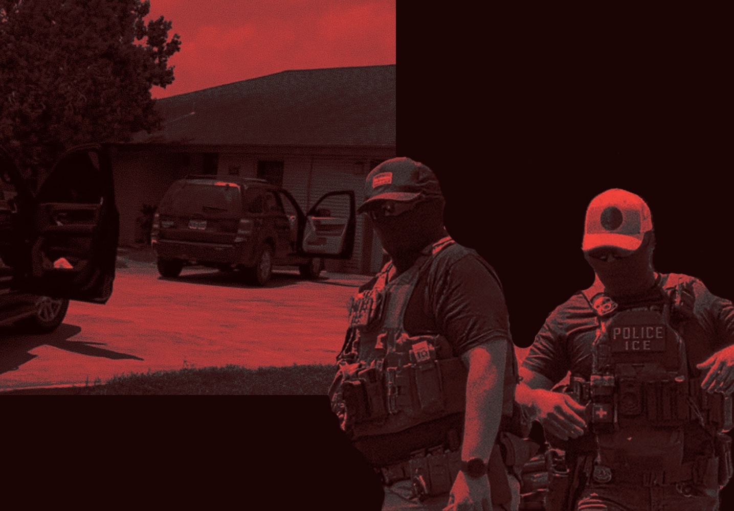
ICE Never Stopped Chasing People in Cars in the Rio Grande Valley
Immigration agents sped after a vehicle through a residential neighborhood on the same day of the agency’s traffic stop pause, reportedly endangering a mother and son—before pulling a gun on and briefly handcuffing a U.S. citizen.

In Congress, Christian Menefee Says He’s Fighting for ‘the Least, the Last, and the Lost’
The latest politician to represent H-Town’s historic 18th Congressional District talks about his recent primary against Al Green, ICE, voting rights, and the U.S. Senate race.
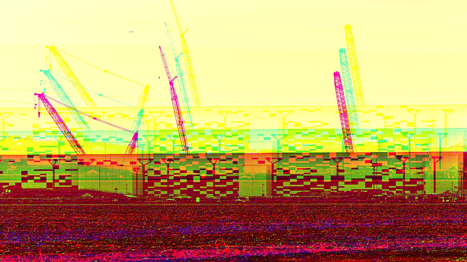
With Texas’ Data Center Boom, Uncertainty Is the Business Plan
Proposed projects are driven by sketchy numbers nobody has to prove: inflated demand, water use most companies never report, power plans that route around ordinary review. Either way, the public pays.