Trump’s Border Wall Lands Rio Grande on List of Nation’s Most Endangered Rivers
The river has long suffered from pollution and overuse, but 33 new miles of border wall could be the “last nail in the coffin,” environmentalists say.
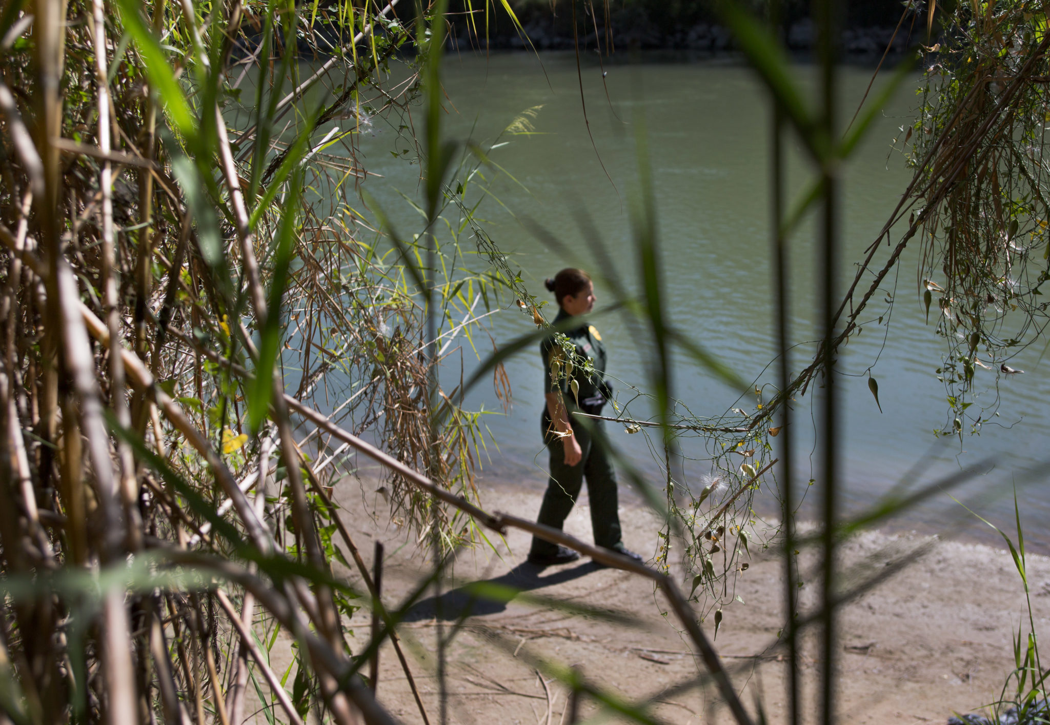
Last month, Congress passed a $1.3 trillion spending package to keep the government funded through September. Tucked in between increases in military spending and funding for highways, lawmakers set aside $641 million to build 33 miles of border wall along the lower reaches of the Rio Grande, the beleaguered river that divides Texas and Mexico. That move could exacerbate flooding in border communities and cause lasting damage to the ecosystem, and it’s landed the Rio Grande on an annual list of the country’s most endangered rivers.
“It’s not the border wall that caused the river to be in such bad shape, but the border wall could be a last nail in the coffin,” said Scott Nicol, co-chair of the Sierra Club’s borderlands team.
“We’ve seldom seen a collection of threats this severe, or an administration so bent on undermining and reversing protections for clean water, rivers and public health.”
Every year the nonprofit American Rivers lists waterways in the country that are struggling to stay wild in the face of energy development, climate change, pollution and other risks. All seven endangered rivers highlighted by the group this year are imperiled by policy changes the Trump administration is considering. The list also includes the Boundary Waters and Kawishiwi River in Minnesota and the rivers of Bristol Bay in Alaska, which are threatened by mining operations that Trump officials could greenlight.
“In our many years of issuing the America’s Most Endangered Rivers report, we’ve seldom seen a collection of threats this severe, or an administration so bent on undermining and reversing protections for clean water, rivers and public health,” Bob Irvin, president of American Rivers, said in a written statement.
Of the 33 miles of levee wall slated for construction along the lower Rio Grande, 25 miles are proposed in Hidalgo County and another 8 miles of a “border wall system” — including fencing, roads and lighting — are set to go up in Starr County. Both the levee itself — which consists of a concrete wall with 18-foot steel bollards — and accompanying fencing can increase the risk of deadly flooding for communities on both sides of the river. When the river swells after heavy rain, debris in the water can accumulate on one side of the fence and act as a dam. In 2008, debris trapped in seasonal rains caused severe flooding in Nogales, Sonora, and its sister city of Nogales, Arizona. Two people drowned.
Rivers shift over time, and that means the border does, too. Severe flooding could exacerbate that process, Nicol said. The wall will also do lasting damage to the ecosystem dependent on the river. Animals that hunt, roam and migrate in the region will be contained to one side of the border, fracturing their genetic pool and limiting their means of survival, Nicol said.
The lower Rio Grande Valley also has no other inexpensive options for water. The region is arid, and groundwater is too brackish to drink or use in agriculture. For the cities and farmers in the region, the river is the primary source of water. “We can’t do without the river,” said Nicol. “We don’t really have a backup for it.”
You May Also Like
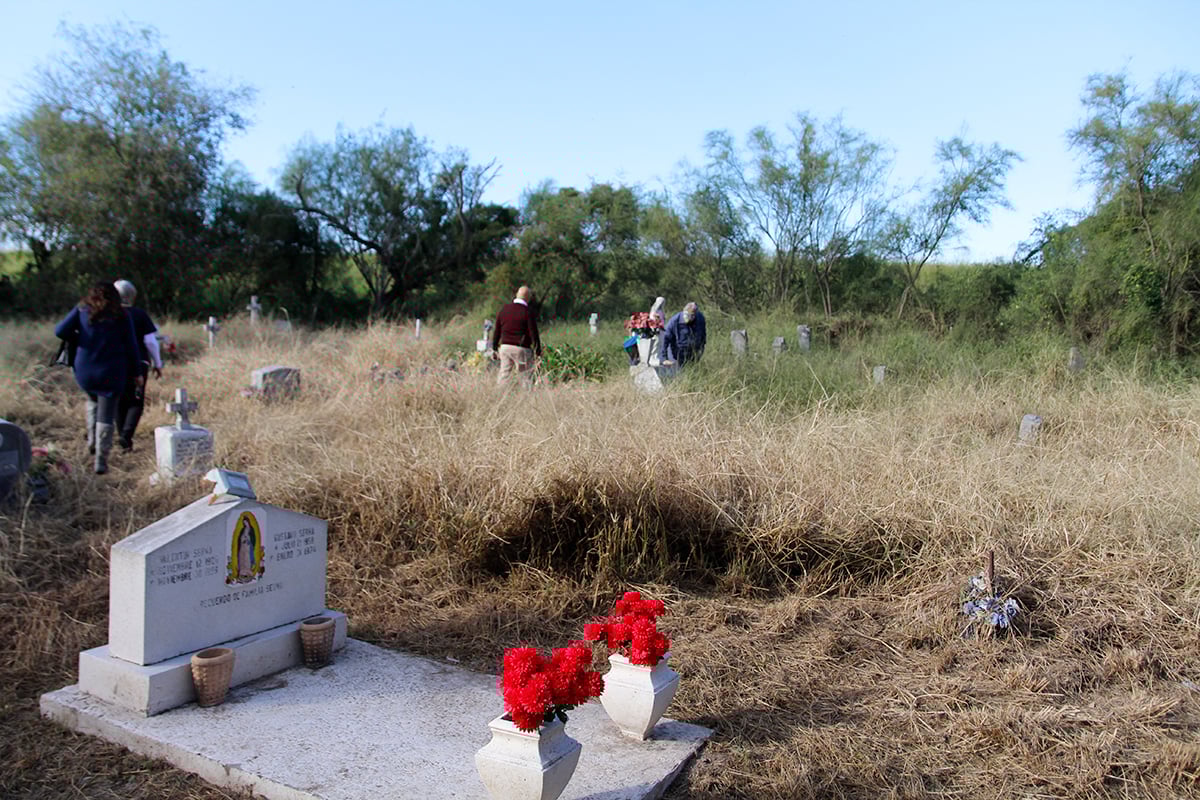
Trump’s Wall May Have to Avoid Multiple Historic Cemeteries
In a bid to protect a high-profile South Texas graveyard, Congress appears to have shielded other notable cemeteries too.
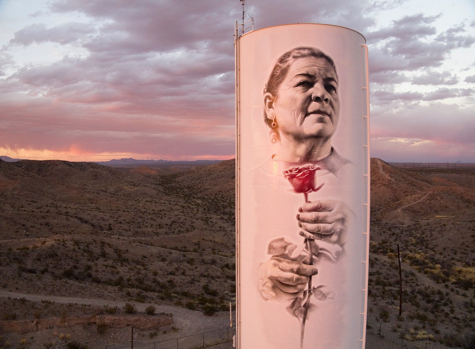
In Presidio, a New Public Art Project Crosses Borders
The new mural is a small binational gesture reminding those who reside in the margins that they are not forgotten.
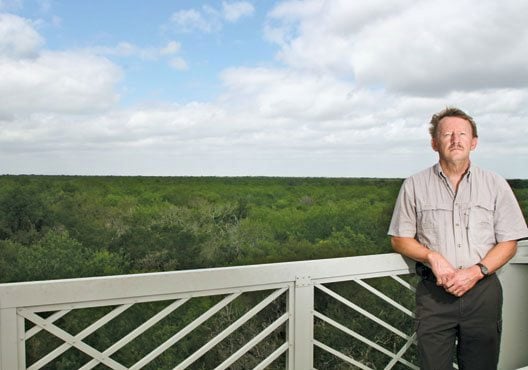
Santa Ana’s Last Stand?
Wildlife biologist Ken Merritt lost his job trying to save the Santa Ana National Wildlife Refuge a decade ago. Now the “jewel” of the national wildlife refuge system is under threat again.