Documents Reveal Where Trump Plans to Build His Wall in Starr County
New maps show that the president means to build through 162 tracts of private land in Roma, Rio Grande City and La Grulla, possibly razing a number of homes in the process.

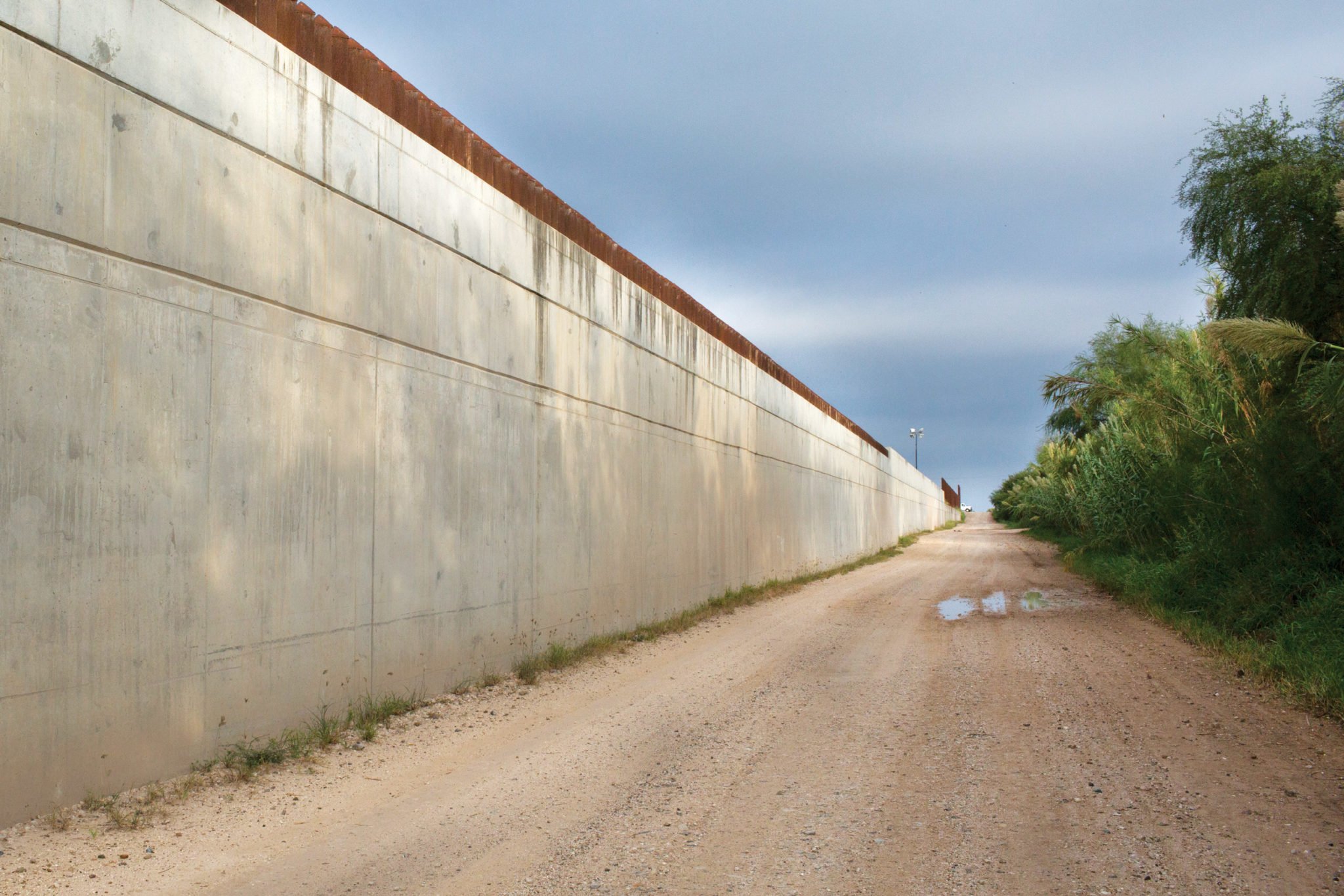
For border residents, activists and journalists, information about Trump’s impending border wall is a rare commodity. The administration still hasn’t provided basic information to many affected landowners, for example, just weeks before it’s set to break ground on 14 miles of new wall in Hidalgo County. FOIA requests have been stonewalled, and what documents are released are often heavily redacted. Customs and Border Protection (CBP) has held no public meetings. And for most of South Texas, the agency has refused to release accurate maps of where the border barrier will go, leaving some Texans in the dark as to whether a 30-foot wall is headed for their living rooms. New documents obtained by the Observer dispel some of the darkness surrounding the government’s plans.
The records, originally posted on a website for potential subcontractors and first reported by the McAllen Monitor, show where Trump intends to build his wall in Starr County, a swath of South Texas that’s sparsely populated, save for a couple border towns that hug the Rio Grande. The preliminary design documents show that the president means to build through Roma, Rio Grande City and La Grulla, possibly razing a number of homes in the process. CBP released a border wall map for the area last year, but it was so inaccurate that it showed the wall running through Mexican territory. “The biggest thing these [new] documents reveal is exactly where the wall will go,” said Scott Nicol, a Sierra Club activist who reviewed the records. “That information should have been revealed months or years ago, if the government was acting in a transparent manner.”
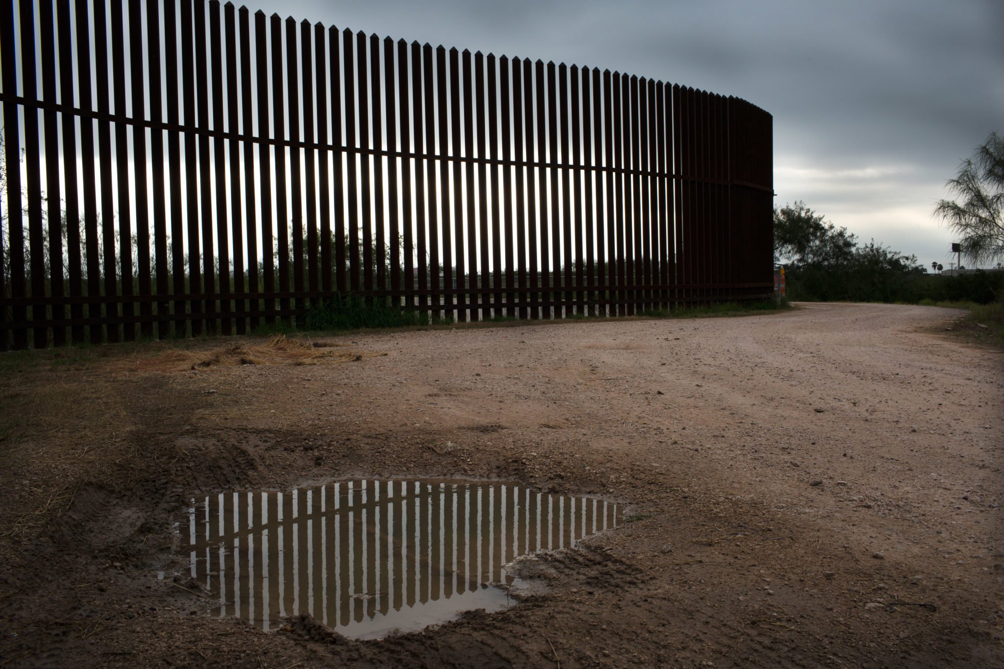
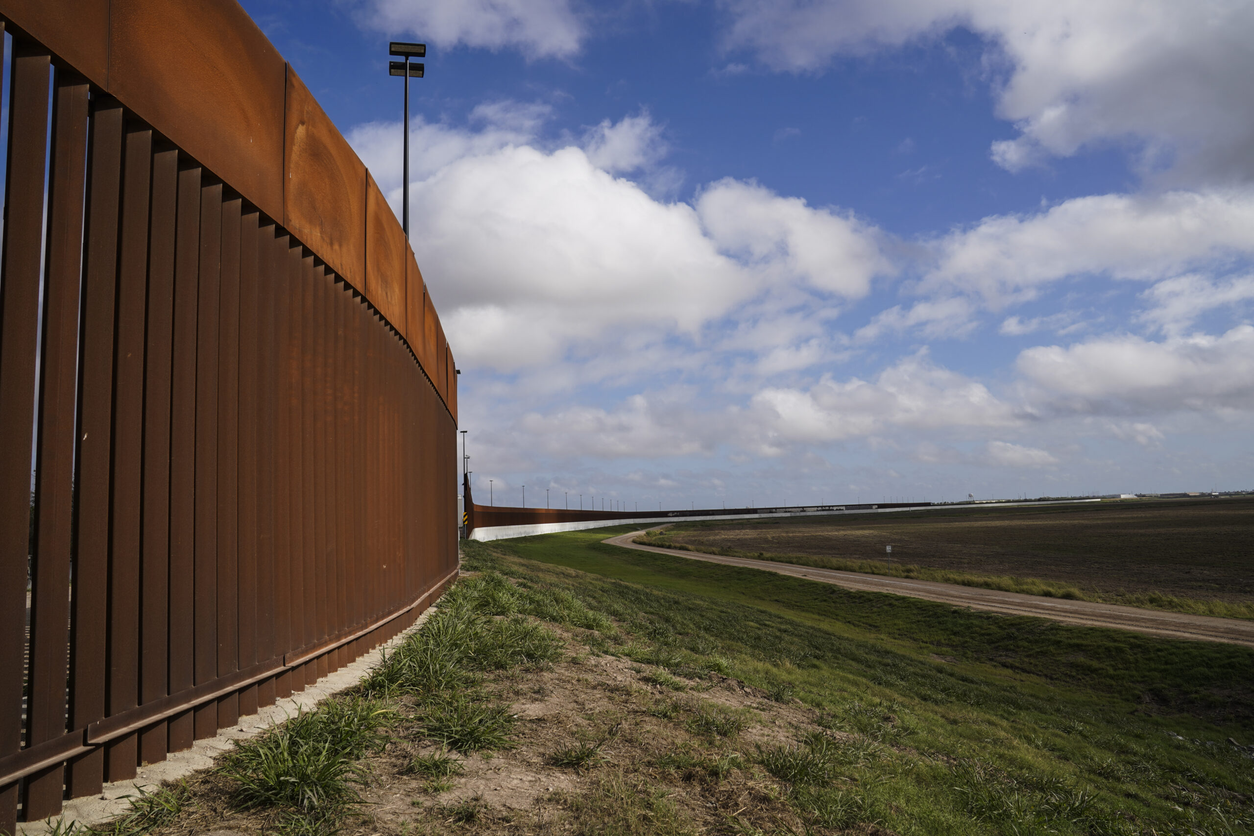
Federal contractor Kiewit wrote on the site for subcontractors that construction in Starr County should start in September — using funds that Congress appropriated in March. In Starr, the administration aims to build 8 to 12 miles of 30-foot-tall steel bollard fencing, in addition to a 150-foot “enforcement zone.” A decade ago, the feds waived a suite of federal environmental and historic preservation laws in order to build segments of border wall in Rio Grande City and a part of Roma. But the project there faltered amid pushback from landowners and concerns about flooding the barrier would cause. Now that the government is trying again, it will likely need to issue additional waivers for La Grulla and a second section of Roma.
The documents also provide a snapshot of the government’s eminent domain progress in Starr County. In all, the feds plan to run the wall through 162 tracts of private land in the county. As of December 10, they’d secured the right to survey 118 of those tracts — an initial step in the condemnation process — while 15 were listed as belonging to landowners who gave a “hard no.” In the past two months, Justice Department attorneys have filed at least two condemnation cases to force landowners in Starr County to allow surveys, according to federal court records. The federal government has not yet announced a construction contract award for the area.
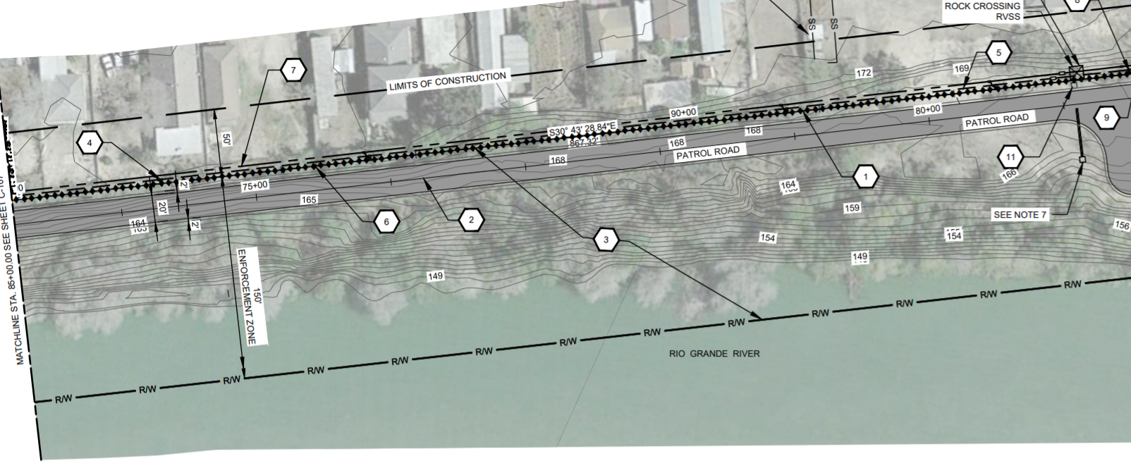
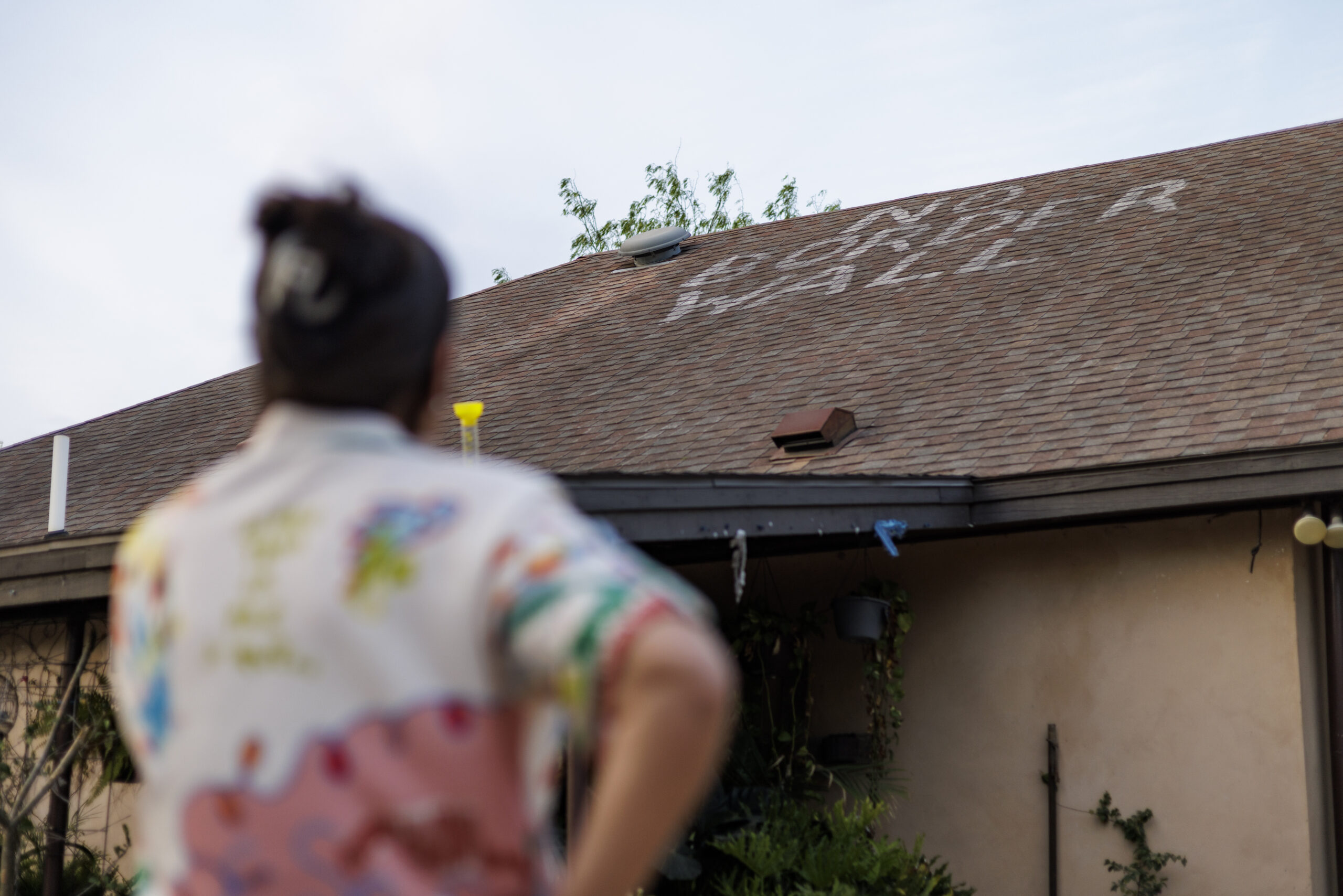
In Roma, population 10,000, residents of the De La Cruz colonia have been particularly worried about Trump’s new wall. The neighborhood, home to some 70 mostly poor and Latino Texans, includes houses that sit about 100 feet from the river — leaving precious little room for Trump’s “big, beautiful” wall. In the documents, a map shows the proposed wall running just south of a row of homes in the colonia, with some houses clearly marked as within the construction zone. It’s unclear whether that means the houses will definitely be razed. CBP has not responded to requests for comment since the government partially shut down last month. Loren Flossman, director of CBP’s Border Wall Program Management Office, has previously refused to make any promises. “We may not be able in every case … to keep the houses north [of the wall],” he said.
Building a wall through Starr County also comes with flood risks. Unlike neighboring Hidalgo County, Starr has no existing levee to convert into border wall. Instead, the feds will be building the wall right through floodplain. Many experts worry that the steel bollard fencing will become clogged with debris during floods, becoming an impermeable barrier and worsening damage south of the wall. “Anywhere they stick a wall in the floodplain, they’re creating a flood hazard,” said Nicol. CBP’s own engineers said as much in 2008, concluding that building any wall segments in the area was too dangerous. But a 2011 report reached the opposite conclusion, clearing the way for today’s proposed construction.
The maps obtained by the Observer represent “35-percent concept designs,” rather than finalized plans. But one document, regarding public engagement and communication guidelines, contains a troubling message for landowners — many of whom are still in the dark about what’s headed for their property this year: “After 65% Design Submittal, feedback from landowners will not be incorporated.” In other words, landowners will be shut out of the process before designs are even complete.
The same communication guidelines document also includes helpful tips for border wall contractors, who may find themselves interacting with perturbed landowners. “Tips For Interacting With Angry People,” reads a subheading. “Listen. Some people may just need to vent,” it advises. “If you feel threatened at any time, leave and inform Border Patrol.”
View all the documents below:
You May Also Like
Trump’s New Tool to Speed Up Wall Construction May Be a Trap for Texas Landowners
The administration is using a new kind of “right-of-entry” request that allows building earlier in the legal process. Property owners could be signing away more than they realize, attorneys say.
After 20 Years of Resistance, Trump Is Walling Off the Rio Grande Valley
Even sites once protected by Congress, including a butterfly refuge and a historic church, are slated for fencing funded by the “one big beautiful bill”—while the river itself is transformed by a floating barrier.