What Is (and Isn’t) Happening with the Border Wall in Big Bend
Government flip-flopping and semantic ambiguity have led to premature declarations of victory over Trump's attack on my home region.
You’ve probably heard about the Trump administration’s plans for a border wall through Big Bend. Or its plans not to build a wall at all, but instead to put up a futuristic forcefield of lights and sensors. You may have even heard that public pressure backed the Department of Homeland Security (DHS) into a corner and they’ve scrapped said plans altogether.
If you’ve been confused by the competing headlines about Texas’ biggest national and state park over the last six months, you’re not alone. Even people like me—one half of the two-person team that broke the story—have been scrambling to keep up.
Back in October, a row of concertina wire appeared what felt like overnight underneath the Presidio International Bridge. Four separate presidential administrations have tossed around the idea of building a border wall through the tiny city of Presidio, the state’s sleepiest vehicle crossing, but the Big Bend’s generally forbidding terrain and lack of action (around 1 percent of total Border Patrol apprehensions sector-wide) have kept these plans confined to the drawing board.
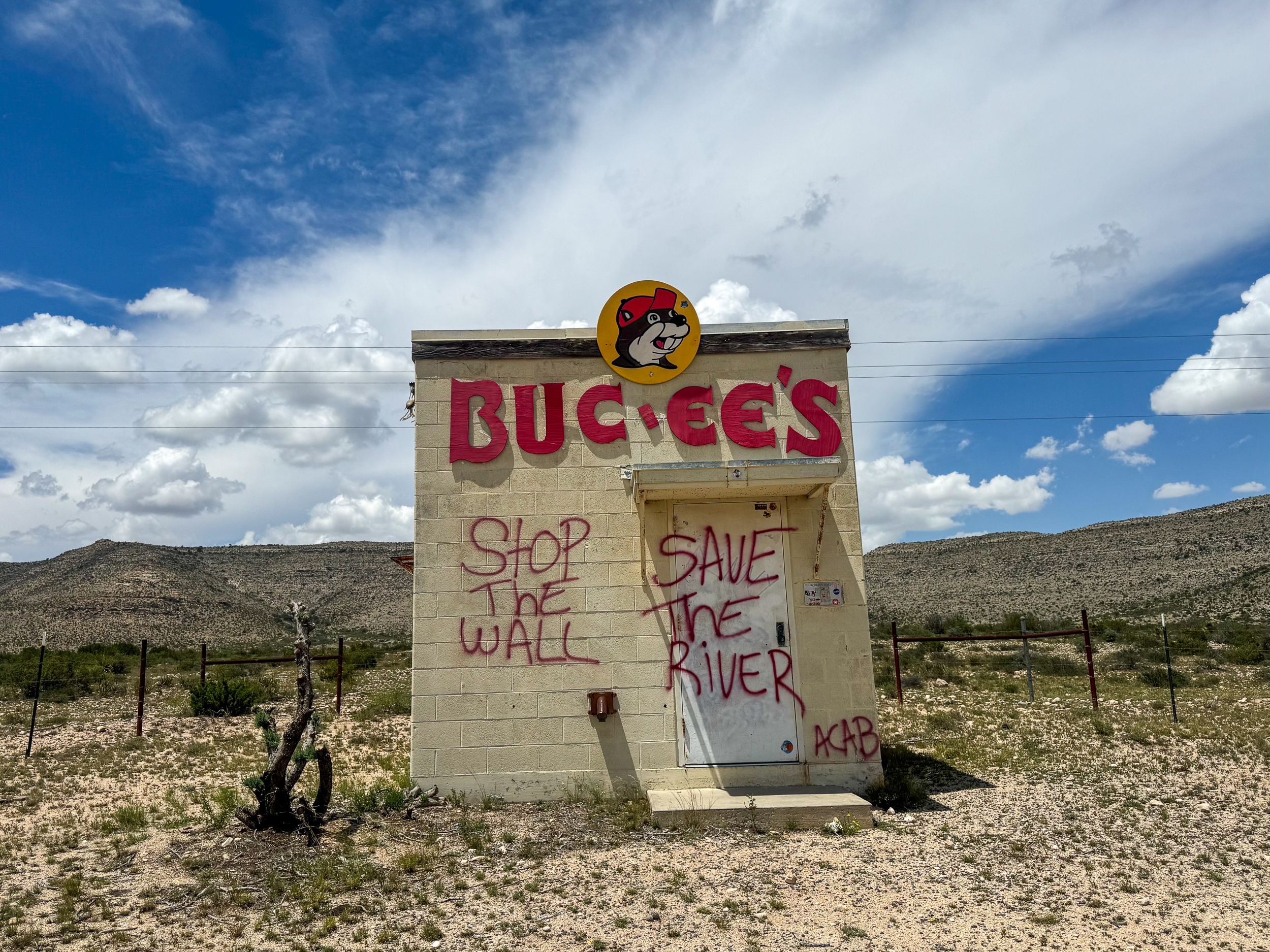
The wire fence—described by one advocacy group as “a toothpick pushed top-down through a stretched-out spiky slinky”—was just the beginning. Fast forward eight months, and 30-foot steel bollards are rumbling down the highway and bulldozers are kicking up dust to clear land for temporary RV parks housing hundreds of workers. At least three federal lawsuits grasping for an injunction are in the works, and a scrappy rapid response team has sprung up to hold the line against contractors performing work without permission.
Still, it feels like every time I open social media, I see headlines from newsrooms hundreds of miles away congratulating my neighbors for successfully fending off the incursion of the wall, with dozens of commenters breathing a collective sigh of relief about the future of Texas’ most remote and wild region. So, where’s the disconnect?
Part of the issue may be semantic. What counts as “the Big Bend” is up for debate—some people say it’s Presidio, Brewster, and Jeff Davis counties; others don’t count anything north of the Border Patrol checkpoints. Personally, I’d say it’s anything south of I-10 between Sierra Blanca and Sanderson. The Border Patrol itself is much more generous, counting a giant chunk of Texas along with the entire state of Oklahoma as “Big Bend.”
However you slice it, the part of the Big Bend region most Texans are familiar with is Big Bend National Park, which forms, alongside Big Bend Ranch State Park and the Black Gap Wildlife Management Area and two reserves in Mexico, one of the largest contiguous areas of protected land in the world. It’d be a luxury anywhere, but it feels especially indulgent in Texas, where less than 5 percent of the state is open to the public.
Yet another point of semantic confusion has come from DHS, which has used the term “smart wall” to refer both to the 30-foot steel fencing traditionally called “border wall” and to other forms of border barrier like patrol roads, surveillance tech, and river buoys. Customs and Border Protection (CBP) has put up an online “smart wall” map that’s become an obsessive reference point for people like me, but the agency changes it on a dime with no announcement.
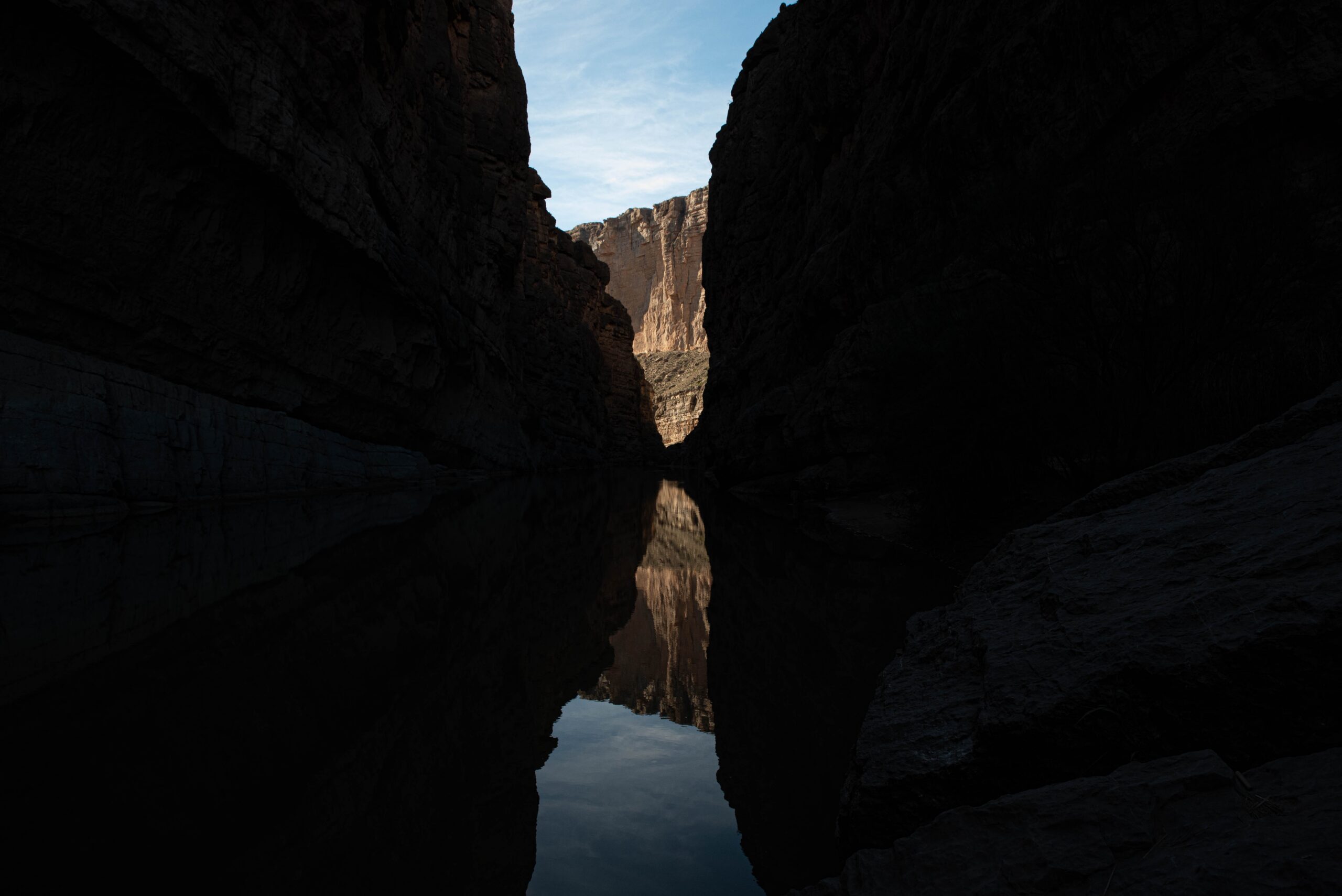
At first, that map showed the national park as slated for “detection technology only.” But, in February, the same month that former DHS Secretary Kristi Noem waived dozens of environmental and cultural resource protection laws, the map shifted—showing a “primary border wall” system cutting off access to treasured tourist destinations like Santa Elena Canyon and the Langford Hot Springs.
After months of backlash, CBP Commissioner Rodney Scott told a reporter in May that because of the Big Bend’s “granite cliffs” over “90 feet tall”—likely referring to the thousand-foot tall limestone canyons that line the river—a physical fence would not be erected in the park. That same month, CBP awarded a $1.7 billion contract to Southwest Valley Constructors, a subsidiary of Kiewit, for “border wall” in and around Big Bend National Park. The agency then clarified to press that this actually referred to smaller vehicle barriers, roads, and tech.
Meanwhile, the state park was originally slated for a steel bollard wall from the park entrance through Closed Canyon, one of the park’s most popular attractions, but former Big Bend Sector Chief Lloyd Easterling promised Presidio County commissioners in March that no wall would be built in the state park. A few days later, Easterling suddenly and unexpectedly announced his retirement. The agency then said that Easterling’s retirement had nothing to do with the wall, and also that—just kidding!—at least two miles of wall would be built in the state park.
In addition to the Kiewit contract, four other border barrier contracts have been awarded for the Big Bend region, going to Fisher Sand & Gravel of North Dakota and Barnard Construction of Montana. Together, the companies will build 175 miles of traditional steel border wall through Hudspeth and Presidio Counties.
All in all, the Big Bend is currently looking at: those 175 miles of wall, 17 miles of “vehicle barrier systems” in Big Bend National Park and the Black Gap Wildlife Management Area (which could include lights and wired CCTV systems), and over 200 miles of patrol roads “equipped with detection technology” in Brewster, Terrell, and Val Verde Counties.
As a river guide who’s logged thousands of miles running the Rio Grande, the most polite word I can think of to describe the agency’s vehicle barrier plans is “baffling.” Much of the 17 miles presently marked on the map for vehicle barriers is in Mariscal Canyon, which forms the distinctive bend in the Rio Grande the region is named for. It’s around 80 miles from my house as the crow flies, but it takes around 6-8 hours to get there. There are no roads in Mexico leading anywhere near Mariscal Canyon, and the road that leads into the canyon on the American side is so bad that every time I’ve been out there I’ve brought a shovel for the express purpose of building the road myself.

To spend so much on these barriers—around $2.4 million per annual Border Patrol “apprehension” in the region—is beyond confusing, particularly in a region where both law enforcement and civilians have expressed near-unanimous opposition. Meanwhile, the hundreds of miles of lights that accompany the Trump “smart wall” will threaten the region’s world-famous dark skies, and road construction along the river, where folks have gathered for more than 10,000 years, could wipe out untold historical and archeological riches. And for the more than 400 individual landowners making the choice between fighting the federal government and granting contractors unfettered access to their property, it could mean the death of a unique binational, bicultural way of life.
I can’t tell you how many dozens of afternoons I’ve spent in Santa Elena Canyon, watching kids splash in the water and dare each other to cross the river and touch Mexico. For over a hundred years, the Big Bend has thwarted the government’s attempts to militarize the border, its dizzyingly tall canyons and wild weather prompting millions of visitors to imagine what the border could look like without concertina wire, without drones, without lines of soldiers. But, if the Trump Administration has its way, we might become just another brick in the wall.
You May Also Like
Cycling the Rio Grande as Trump’s Wall Looms
“We’re gonna be riding around areas where most everybody thinks it’s unsafe, and you’re gonna see that there’s really nothing to be worried about.”
In Laredo’s Last Stand Against Trump’s Border Wall, Are City Leaders Making a Deal with the Devil?
"A lot of the same arguments for why you wouldn't build it in Big Bend are the exact same arguments for why you wouldn't build it in Laredo," say opponents of the wall, as local officials have sought to accommodate the feds' demands.
After 20 Years of Resistance, Trump Is Walling Off the Rio Grande Valley
Even sites once protected by Congress, including a butterfly refuge and a historic church, are slated for fencing funded by the “one big beautiful bill”—while the river itself is transformed by a floating barrier.