The Documents Behind Trump’s Texas Border Wall Plans
The records give the most in-depth picture to date of where and how the Trump administration plans to build the president’s “big, beautiful wall.”
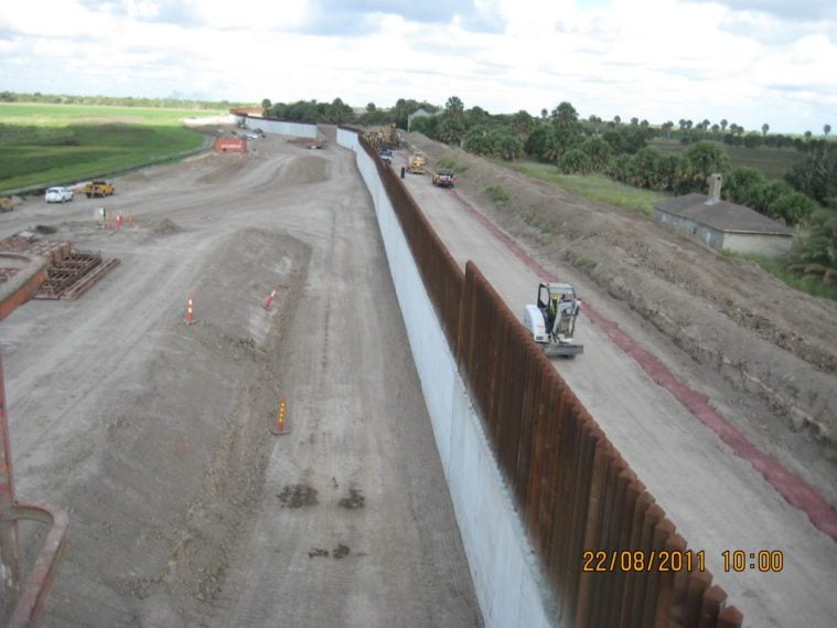
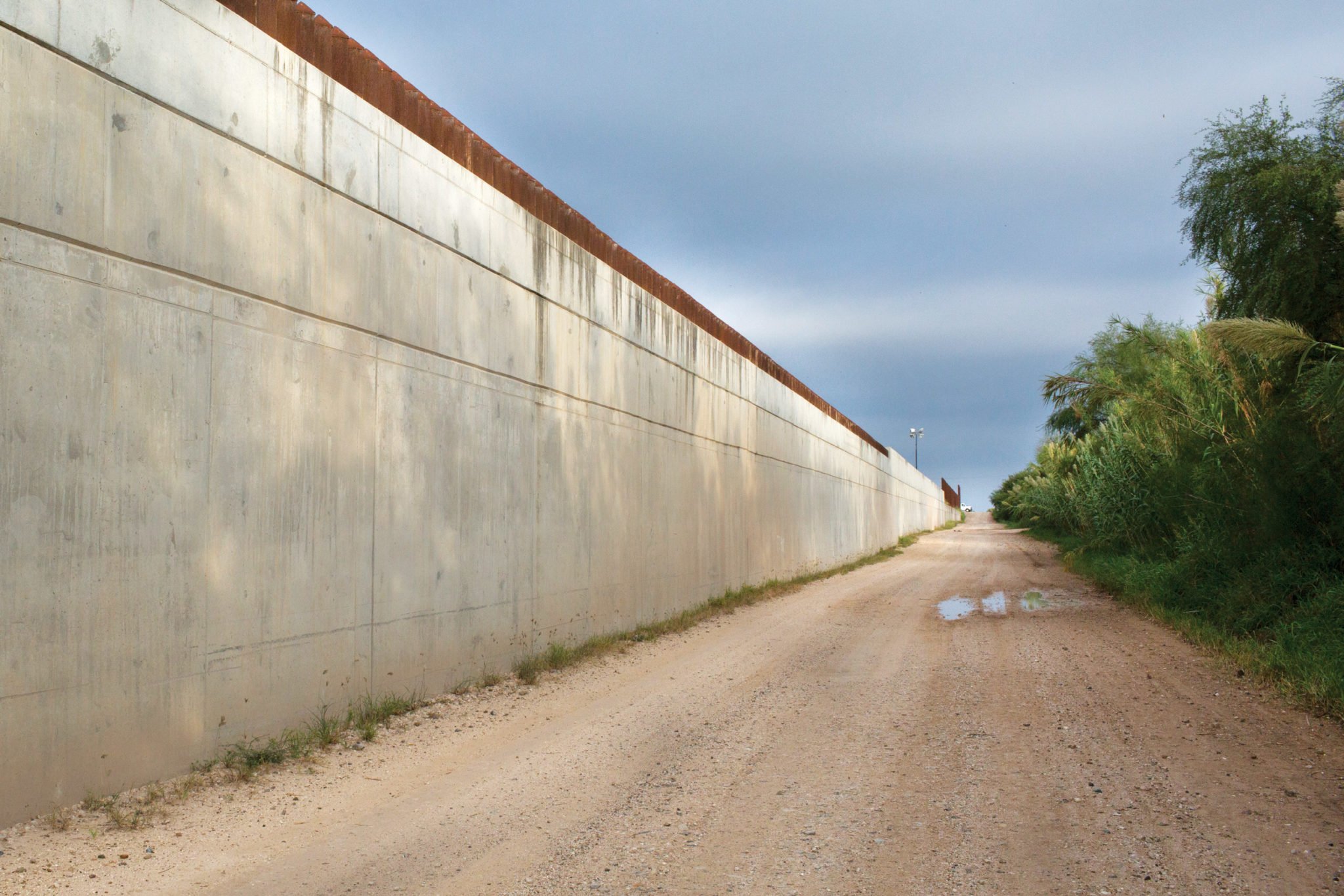
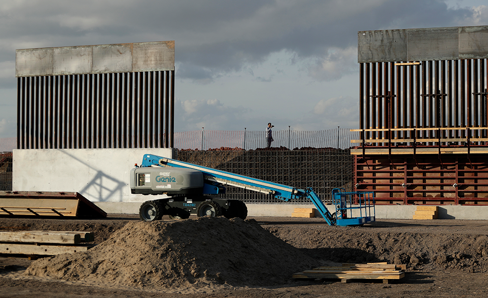
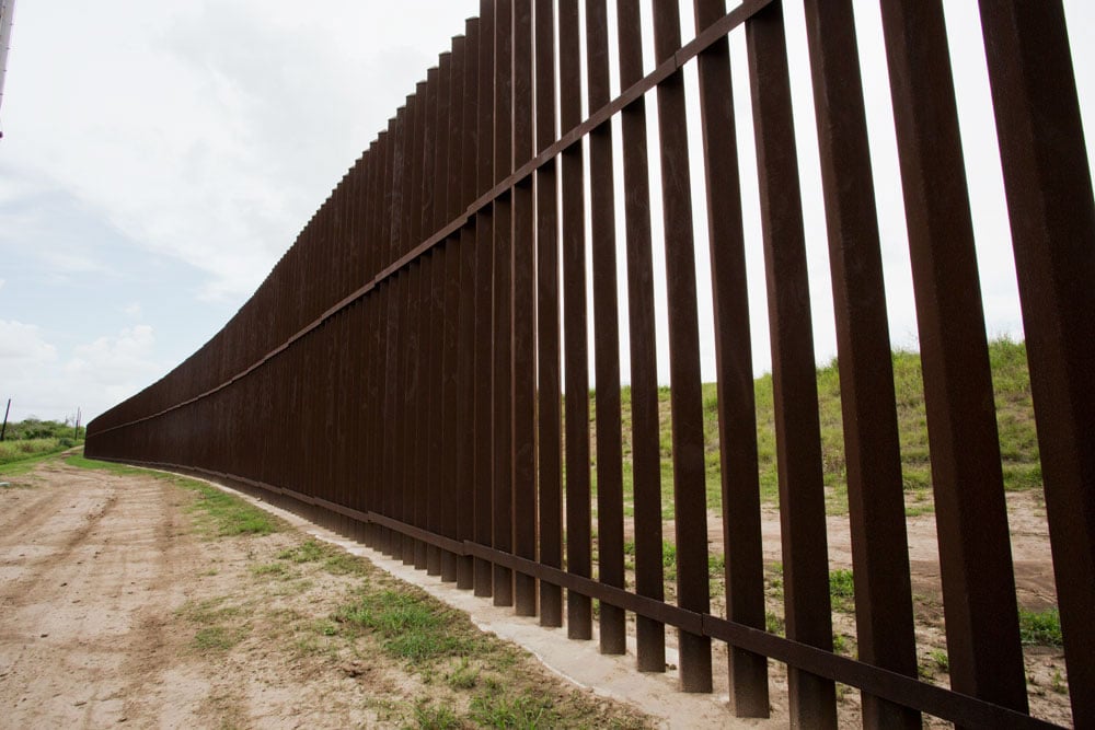
Last week the Observer revealed U.S. Army Corps of Engineers documents that show where the Trump administration plans to build 33 miles of border wall in South Texas. Churches, cemeteries, hundreds of homeowners, retirees at an RV park and three wildlife areas are all in the crosshairs.
Now, the Observer is releasing additional documents, obtained under a Freedom of Information Act (FOIA) request, that include timelines for construction, cost estimates and locations for border wall segments. In one email, Army Corps engineers and government officials discuss the construction of additional segments of border wall. In another document, U.S. Customs and Border Protection gives Corps engineers and private contractors a communication strategy to deal with the media and landowners: “Intense media scrutiny,” the document warns. “This is a controversial project generating great public interest. This is also a fast-paced program where unexpected developments can be expected.”
Strategic communication advisory for border wall construction:
A spreadsheet created by Corps engineers reveals a rating system the administration is using to rank the difficulty of building each segment, based on the topography and the legal difficulty of taking over the land. To read more about the implications of these documents, see last week’s article.
Database on status of various segments earmarked for construction in South Texas:
These FOIA documents were provided by the Sierra Club to the Observer, and to date give the most in-depth picture of where the Trump administration plans to build the president’s “big, beautiful wall.”
Cost estimates, timelines for construction on southern border:
Explore the remaining documents, which are searchable:
You May Also Like
2020: The Year Trump’s Wall Rises or Falls
The president may be incompetent and behind schedule, but he’s done damage already. And a lot more could be on the way.
Starr County Proposes Alternative Border Wall Plan
New maps obtained by the Observer represent a local plan developed as part of a Congressionally mandated consultation process.