ustxtxb_obs_2006_06_02_50_00012-00000_000.pdf
Page 8
Whose Bayou? BY GREG HARMAN S everal months ago on a warm winter day, I took a trip on Buffalo Bayou, the waterway that runs through downtown Houston and connects the city to the Gulf of Mexico. With me were Roy Edwards and Don Greene, two veteran river watchers. As we boarded a canoe, Edwards held an iron skillet and a rope. I grasped the paddle, awaiting instruction, while Greene stood on the bank to call out directions. We were at the confluence of Buffalo Bayou and White Oak Bayou, a critical juncture that tells an important story about flood control in Houston. In a major storm, water from miles around will find its way into these two tributaries as the increasingly impermeable city attempts to flush itself clear of the rains. With a makeshift sounding devicethe cooking skilletEdwards and Greene were about to give me a lesson in alluvial dynamics. On one side of us was the Harris County Jail. Across the river was the University of Houston’s downtown campus. Where the base of the jail meets the river we saw evidence of subsidencethe ground being eaten away by altered stream currents. Not far behind us was the concrete pier at Allen’s 12 THE TEXAS OBSERVER JUNE 2, 2006 illustration by Mike Krone Landing, outfitted with ironworks befitting the major working dock it once was. The rebuilt pier may be one factor that has changed the flow of the river. We were about to discover others. Edwards lowered the cooking skillet close to the rehabbed pier where Greene said there used to be a drop of more than 60 feet. This time, at low tide, the skillet dropped a mere 18 feet. Along the sides of the river, up and down the confluence of the bayous, we found depths ranging between 12 feet and almost 30 feet. Then we turned around to come up the middle of the channel. We hit sixand seven-foot pockets before being greeted by the audible clang of the skillet on rock; we were hitting solid rock at less than three feet. It was no natural outcroppingthe region’s geology doesn’t allow for such things. This was rubble. Greene pointed out how the rubble had changed the flow of the water, creating an eddy at the base of Allen’s Landing and erosion near the base of the jail. It was near here that Edwards, a former Harris County jailer, says that in the late 1990s he witnessed the dumping of several tractor-trailer loads of rock into the middle of the waterway. He described seeing the pile
You May Also Like
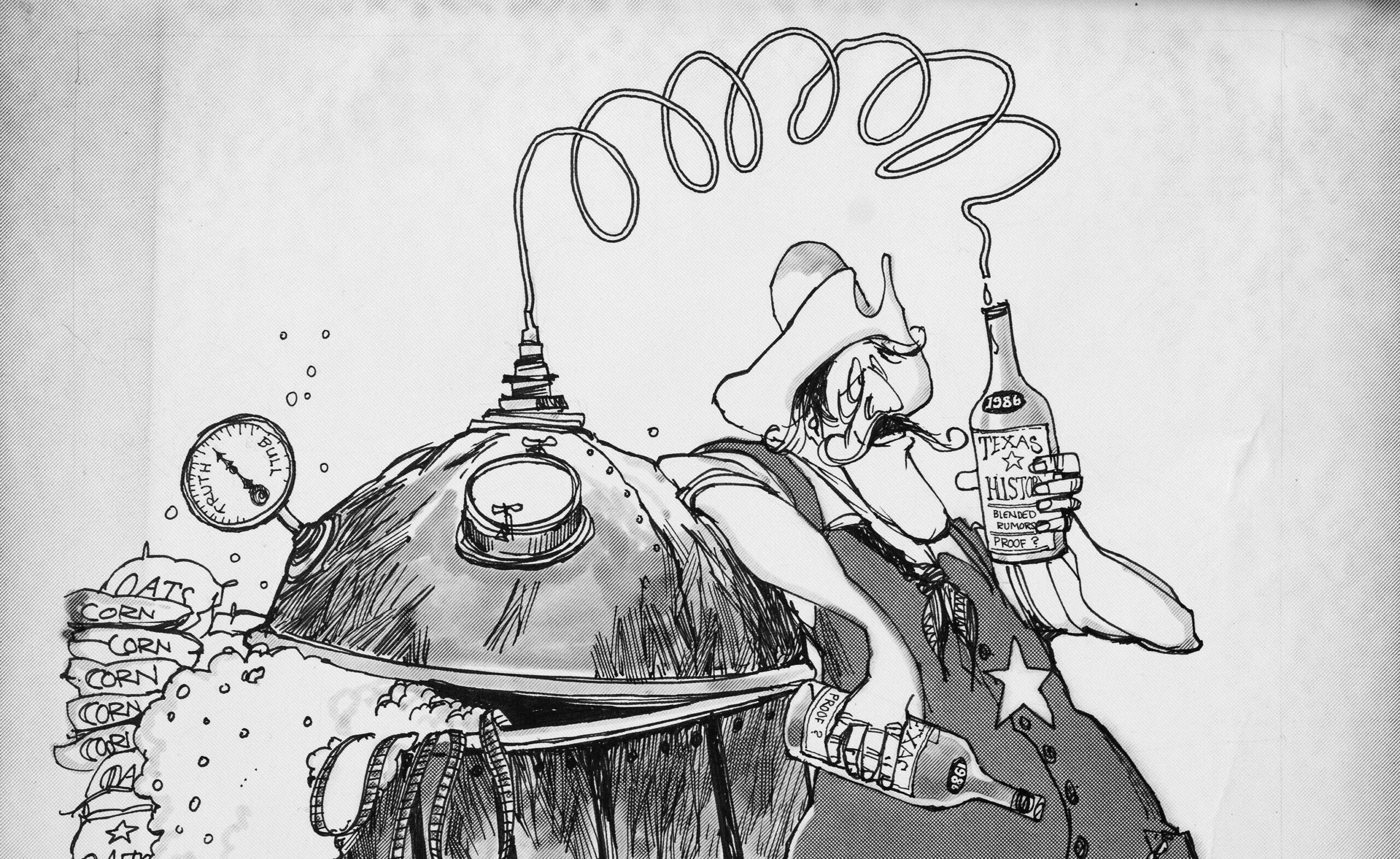
70 Years of Skewering
The “magic dust” of adding funny drawings to words has been an important part of the Texas Observer.
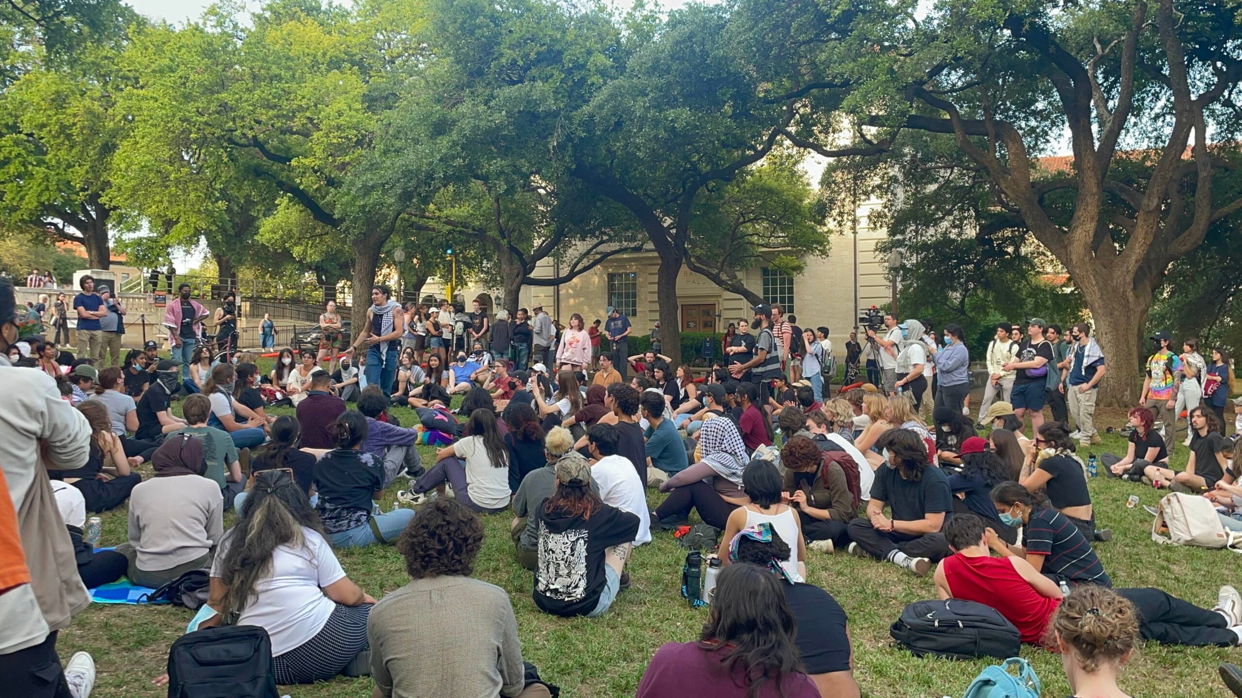
Did Texas Police Violate First Amendment Rights of Pro-Palestine Protesters?
A UT professor and expert on freedom of expression weighs in on the controversial arrests of 57 individuals, including a journalist, at a campus demonstration.
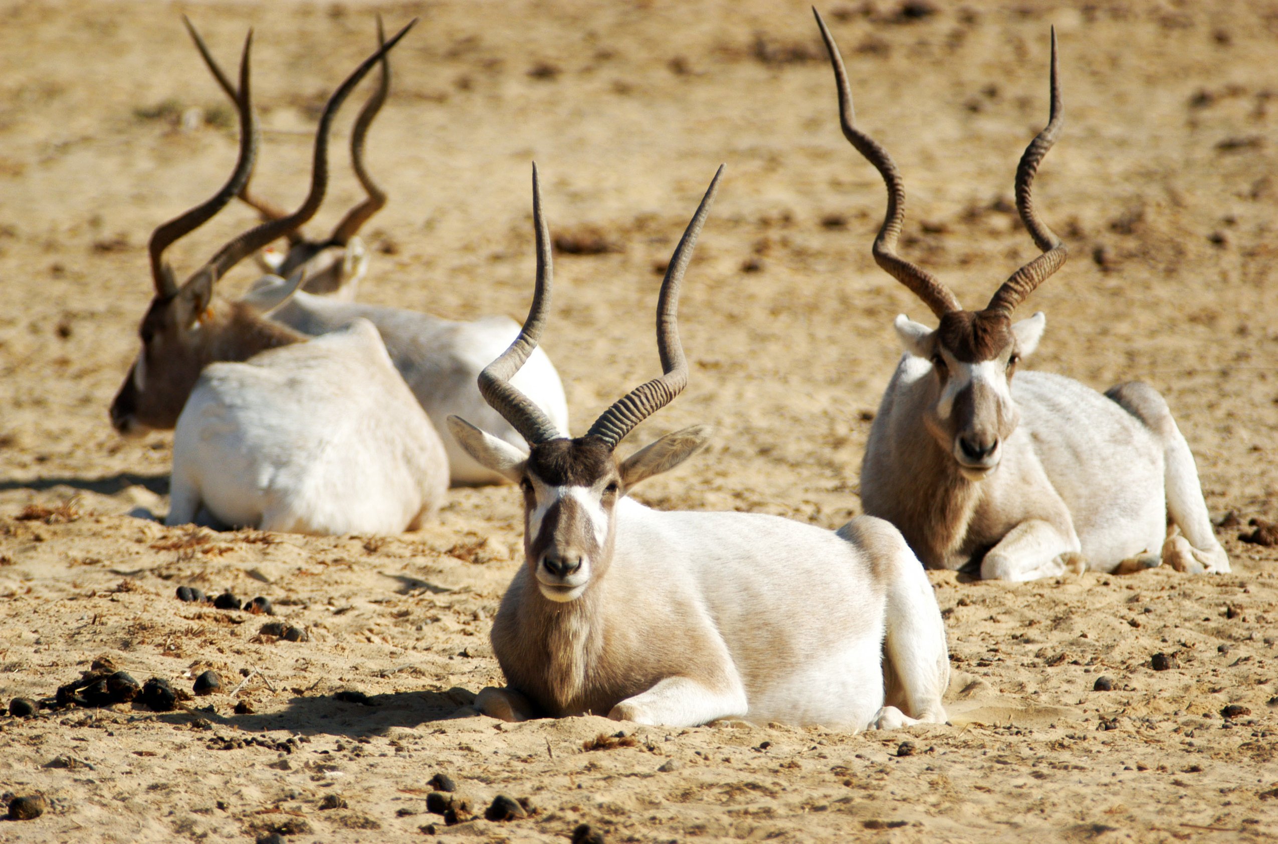
Texas Exotic Hunts Are Dangerously Unregulated
Some hunting ranches in Texas routinely offer hunts of endangered or threatened exotic species. This should not be allowed.